Digitization of urban planning sheets
Municipality.Tech offers transfer services from paper to electronic format (digitization) of urban planning sheets of 1: 500 and 1: 2000 scale with the parallel formation of a database associated with graphics objects
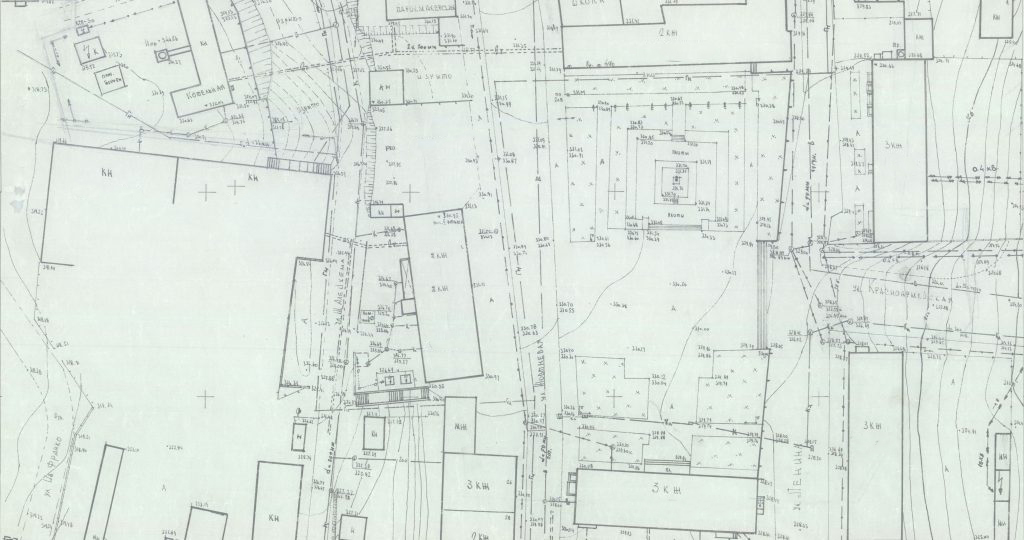
Multi-sheet urban planning tablets – are the detailed plans of the city territory, which represent the materials of engineering geodetic surveys and executive surveys on a scale of 1: 500 or 1: 2000 Plans serve as the basis for architectural, road and engineering design necessary for the effective functioning of operational organizations of the housing and public utility complex.
The main goal of converting city-planning tablets into digital format is to provide state and local authorities with up-to-date, reliable and comprehensive information for all-around operational research, and for the assessment and justification of management decisions. Such decisions are intended to support the creation of a high-quality environment and the vital activities of the urban population, while ensuring environmental protection and sustainable development.
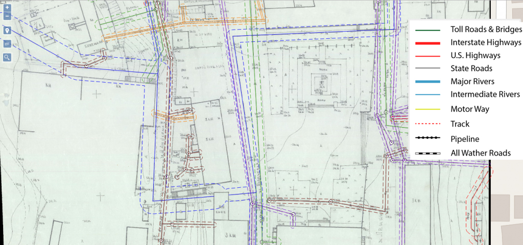
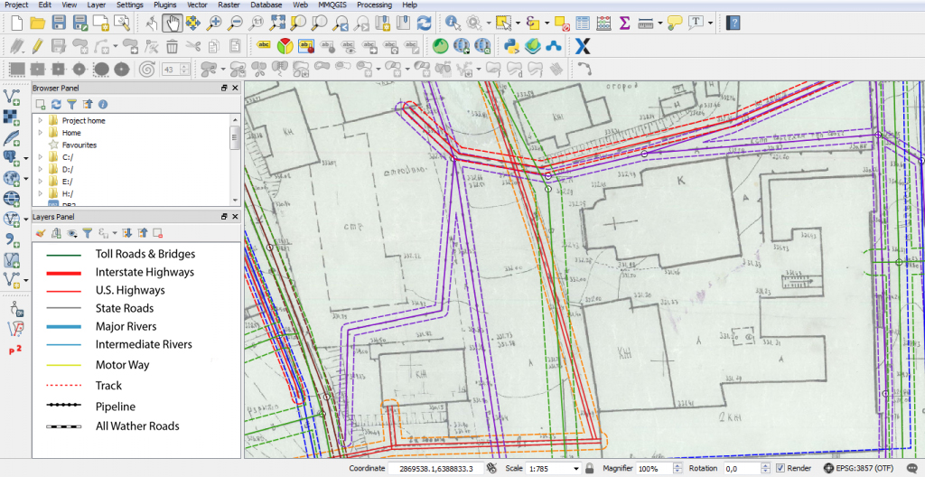
Digitization of urban planning tablets is carried out with the introduction of specialized software products (vectorizer). The result of digitization is a layer-by-layer vector cartographic image consisting of a system of points (elevation marks), lines (engineering communications, carriageways of streets, horizontals, etc.) and polygons (buildings, guard zones, etc.). Each of the above objects is additionally described by its inherent parameter in the attribute table.


The benefits of using electronic plans
- digital data received from the tablet is available from any device connected to the Internet (in case the transfer of the work performed in the appropriate format is provided);
- the ability to quickly update the database;
- add and display new spatial information;
- operational analysis and decisions making.
The completed work is transmitted to the customer in the format of geographic information platforms ArcGIS (files with the extension * shp), MapInfo (* tab, * mif), AutoCAD (* dxf), Digitals (* dmf) or in the Adobe Acrobat Reader document editor (* pdf).

