Services

Consulting
Learn more
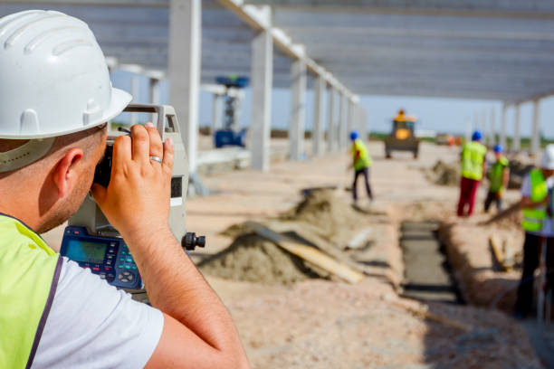
Topographical survey
Learn more
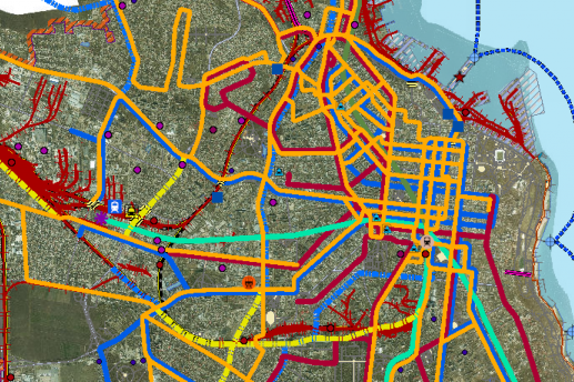
Creating a city geoportal
Learn more
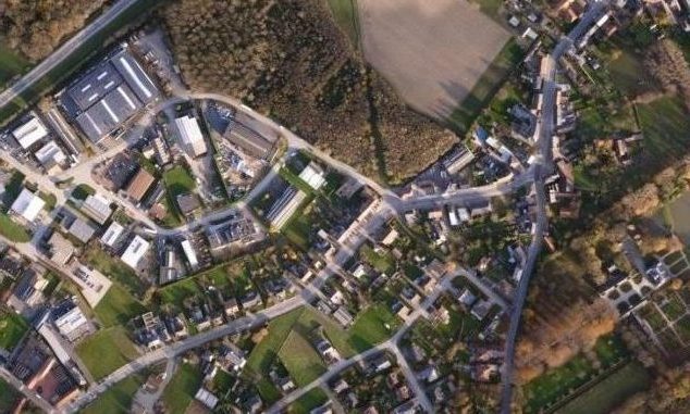
Aerial photography
Learn more
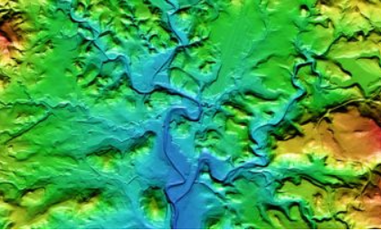
Geoinformation modeling
Learn more
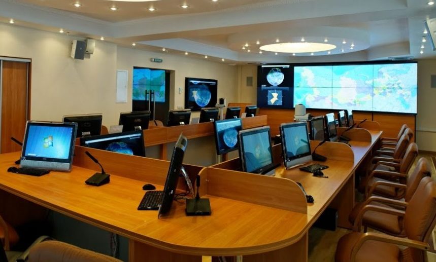
Creation of municipal situational center
Learn more
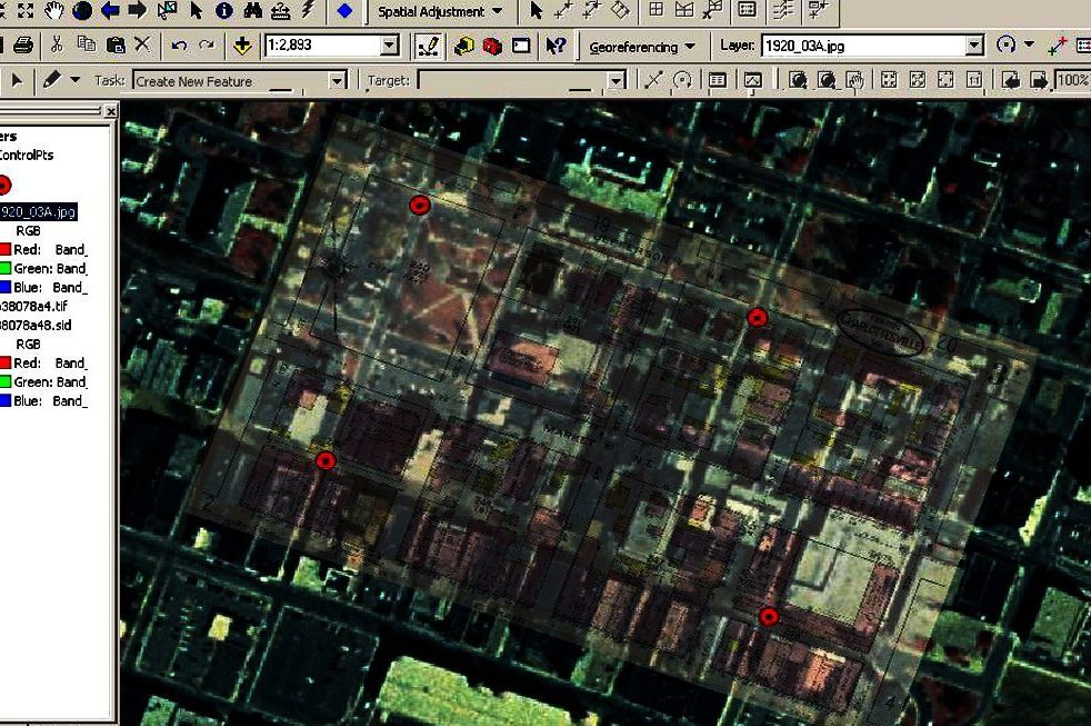
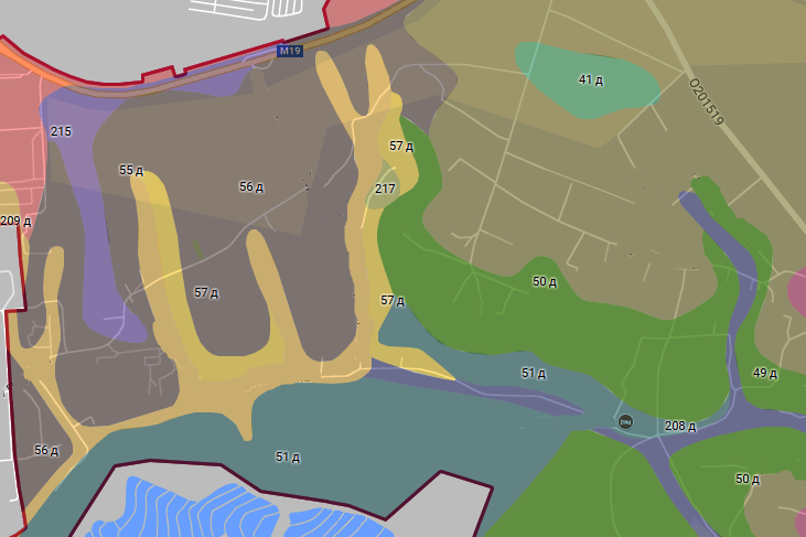
Georeferencing maps
Learn more
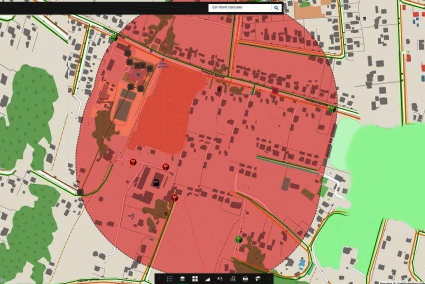
Creating an interactive map
Learn more
Forming a site plan of the population area
Learn more
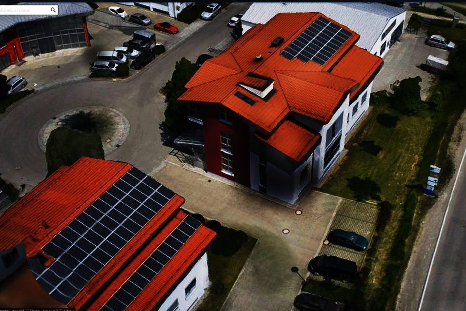
Creating a 3D model with UAV
Learn more
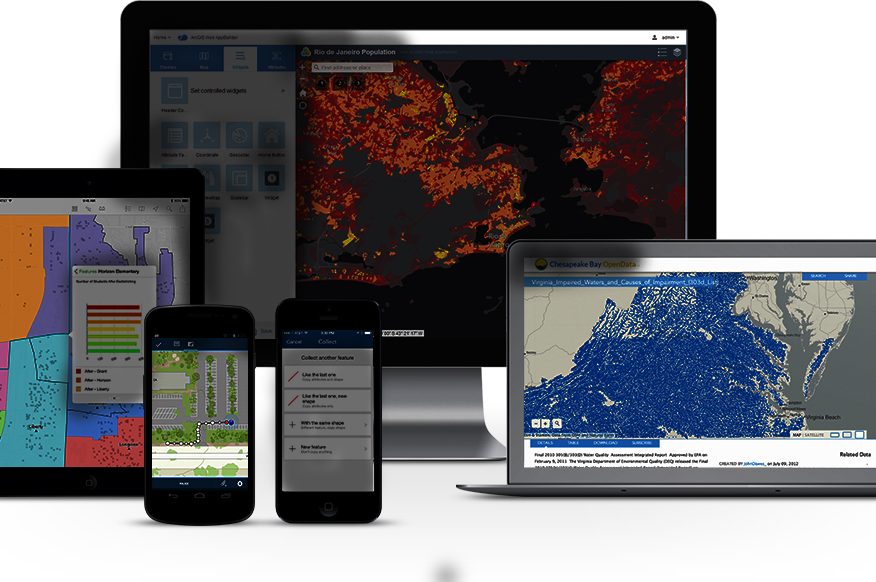
Creation of a mobile mapping app
Learn more

Creating an online training course
Learn more
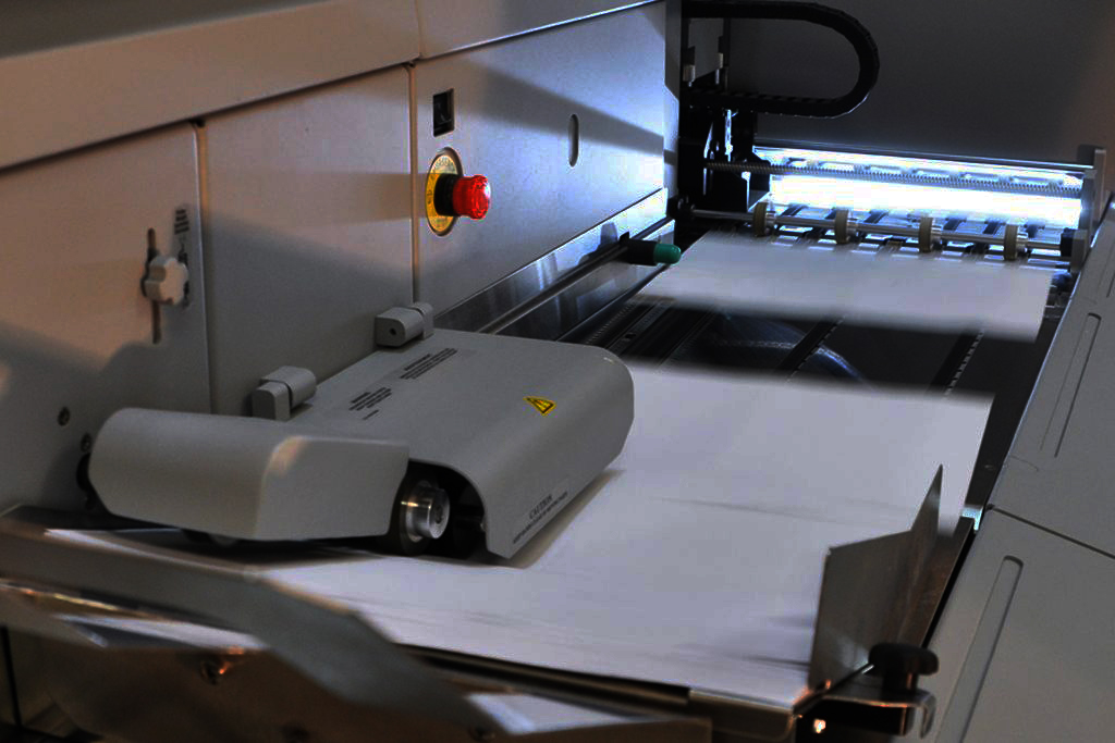
Digitization
Digitized soil mapping
Learn more
Digitizing documents
Learn more
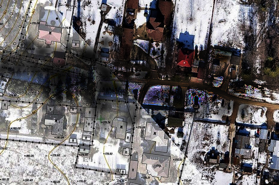
Digitization of maps and aerophotos
Learn more
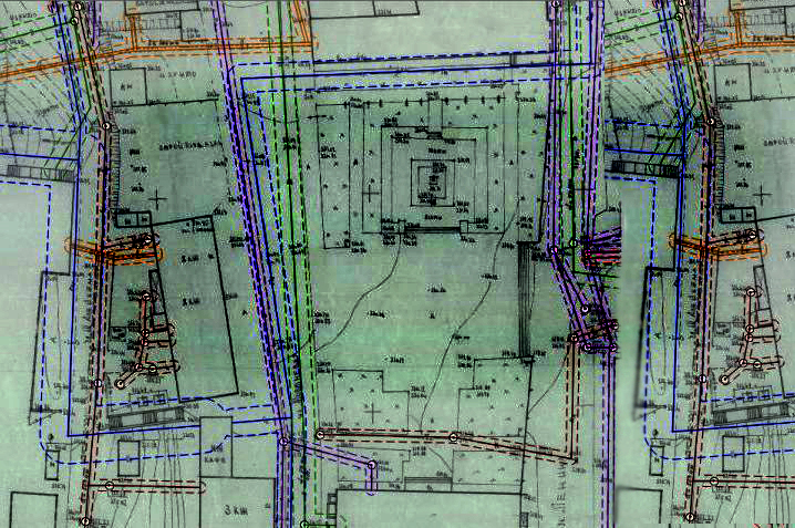
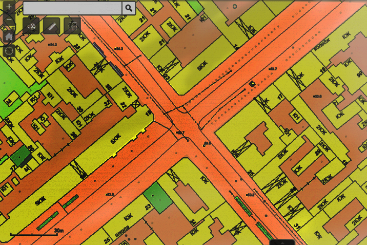
Digitization of urban planning sheets
Learn more