Creating a city geoportal
Municipality.Tech services will support the development of a municipal geoportal that carries unified content, within the city’s geoinformation software environment
The city's geoportal is an internet resource which serves as a single access point to a large number of information resources. It includes a system of tools for search and review of geographic information, its visualization, downloading and sharing.
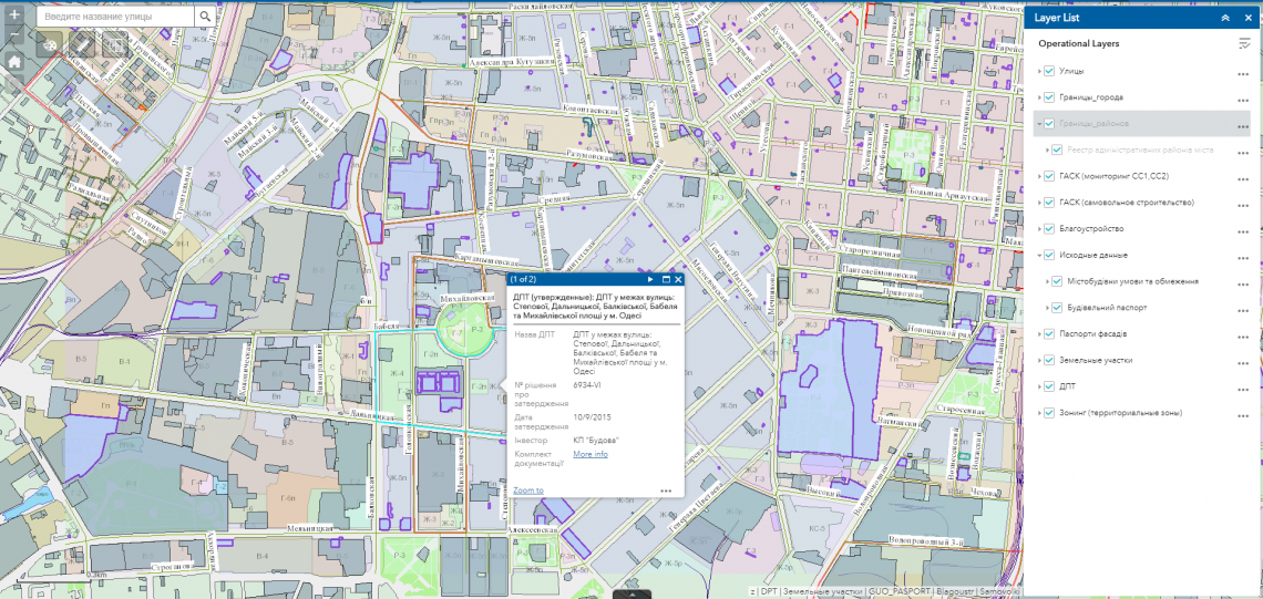
One highlight of the geoportal is its focus on processing large volumes of data in order to create specialized industry and thematic decisions in the field of urban, land and other types of cadastre. This includes the operational management of territory development, tracking the location of investment sites, monitoring the work sites of authorities and private parties.
The main purpose of geoportal development is to ensure public exposure of city-planning activities, a unified solution of city issues, increased confidence on the part of residents, and improvement in the quality of the urban environment. The development of the geoportal resource provides broad and free access to territory information and demonstrates the openness of municipal authorities for interaction with residents.
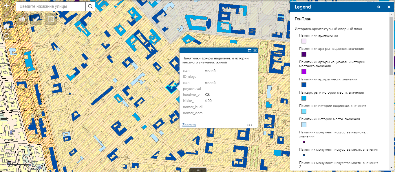
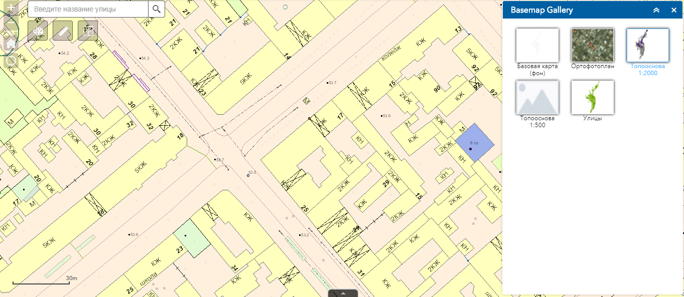
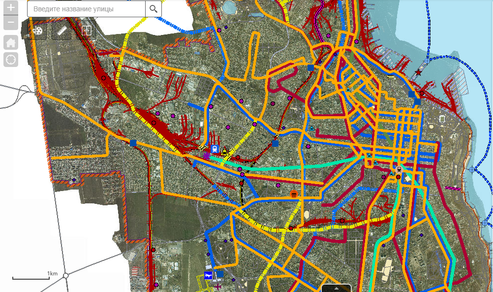
The geoportal spatial basis is made of an interactive system of cartographic materials, vector data, and semantic data. The cartographic materials include orthophoto maps, space images, and topographical maps. The vector information includes city boundaries, site plans, red lines, normative monetary valuations, buildings and construction sites, and communal objects. The semantic data includes cadastral information, address registries, and so forth.
In this municipal geoportal, users have the capability of automated information search, detailed review of attribute data about objects, merging in data from other popular cartographic resources (Google Maps, OpenStreetMap, BingMaps), and the ability to navigate easily in this richly functional space.


Advantages of municipal geoportal development
- public exposure of city-planning activities, the unified solution of the city issues, increase of comfort of the residents and improvement of the quality of the urban environment;
- access of citizens to the information on the state of environment, real estate market, transport and other information and reference, as well as informative geoinformation services;
- automated search of information and detailed view of object data, also by means of popular cartographic resources (Google Maps, OpenStreetMap, BingMaps);
- centralized management of data on urban development objects;
- quick access, administration and actualization of mapping and cartographic data, orthophoto maps, digital and electronic maps.

