Creating an interactive map
Municipality.Tech provides services for creating of interactive web maps for the needs of state authorities in the field of natural resources, agriculture, forestry and water management, engineering, transport infrastructure and human settlements management
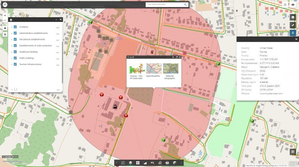
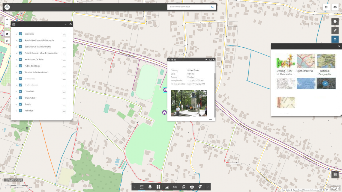
Interactive map – an innovative web resource whose users can view, edit and analyze spatial data using a common web browser. To work with an interactive map, the user does not need specialized programs and qualifications of a GIS specialist, it is enough to have a web browser and the Internet connection.
The interactive map provides cartographic information, the content of which is set out in layers with the ability to connect to displaying of various layers of thematic information and edit the content. The effectiveness of the interactive maps usage is achieved with a flexible database, which may contain reference information in the form of text descriptions of objects, numerical data, photographs, graphs, charts, etc.
Interactive maps contain the most complete set of functions available in desktop GIS: map navigation, data editing, vector layer manipulation, spatial analysis, address search, geocoding, and much more.


Take advantage of interactive maps for effective management decisions
- combine thematic layers of an interactive map to identify cause-effect relationships and patterns;
- work with the attribute data of an interactive map to identify important features of objects and territories;
- easily read interactively attractive electronic maps, get new opportunities for analyzing spatial data;
- manage access to cartographic information and collaborate on spatial data on the Internet;
- collect data in the field using a mobile device (smartphone, tablet) in real time.

