Geoinformation system of utilities
Software solutions can protect the ecological safety of the city
An ideal municipal technology system will:
- monitor and control the current state of environmental factors in the city;
- maintain an up-to-date database of any instances exceeding maximum permissible concentrations of harmful or toxic substances within the city;
- display the dynamics of chemical contamination of soils, surface and groundwater, air and vegetation with heavy metals, radionuclides, oil products, etc.;
- monitor and control the development of adverse or dangerous geological and geomorphological processes (ravines, landslides, sinkholes, surface subsidence, flooding, etc);
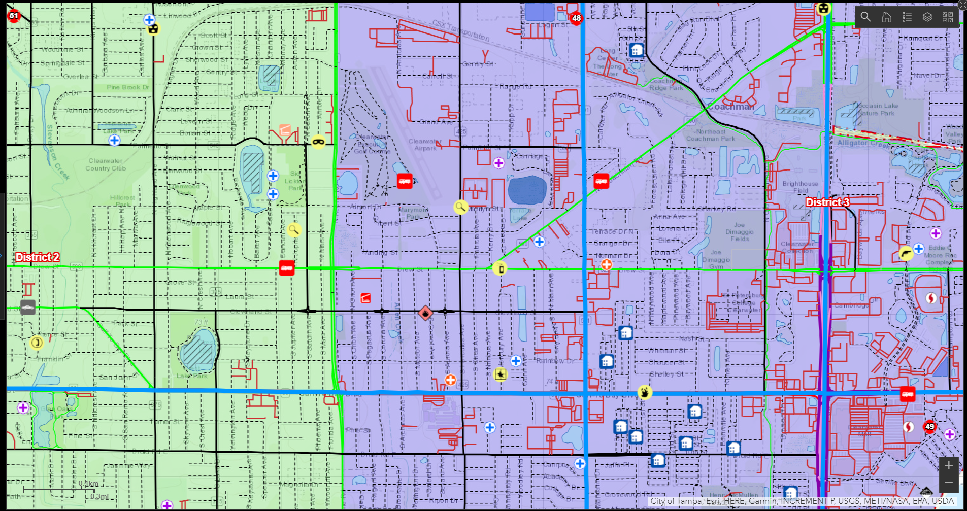
- receive prompt information on the zoning of the city (industrial-warehouse, industrial, residential, nature protection zones, etc.);
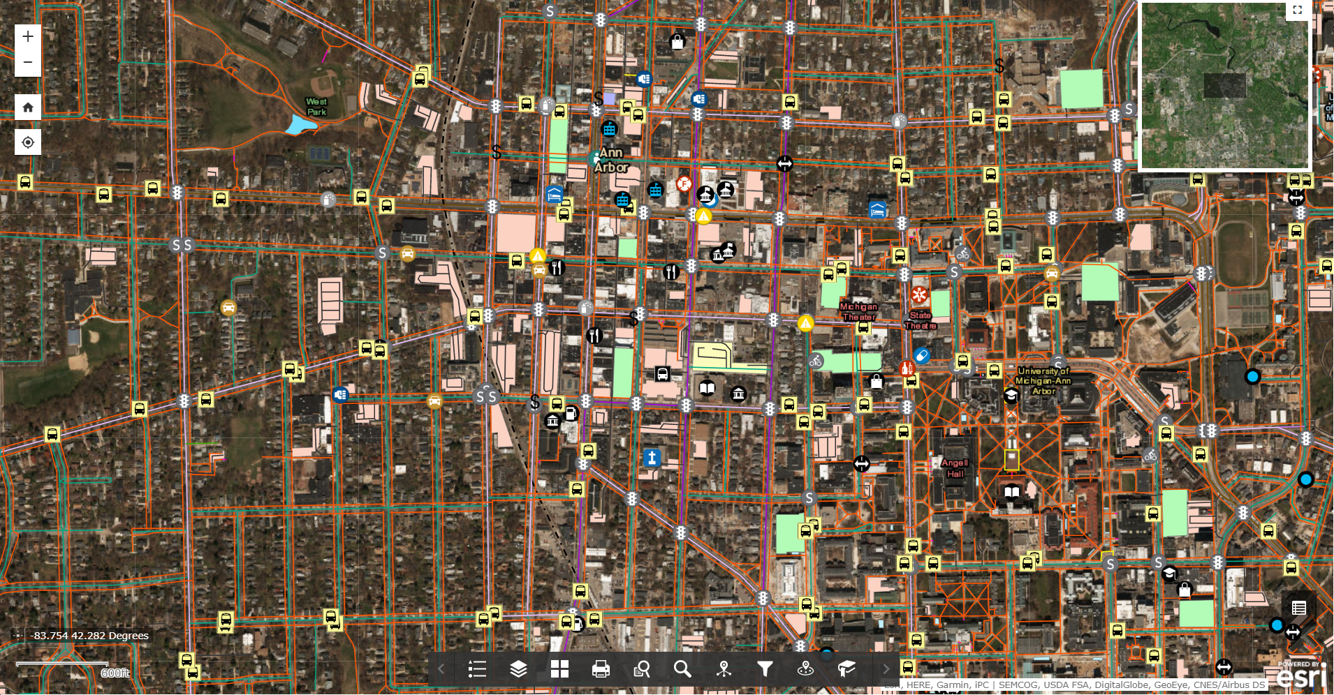
- monitor engineering and transport communications (highways of ground and underground transport, heating pipes, power lines, etc.);
- get objective information on the ecological status of the city as a surface on the basis of multidimensional environmental information.
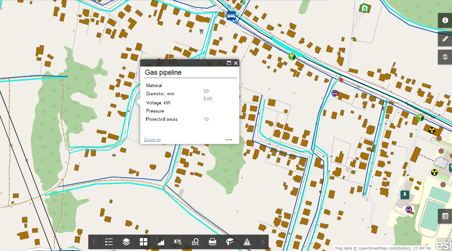
Optimize the performance of city managers by implementing GIS
- automate reporting on the results of social-ecological field work;
- plan quarterly or annual social development programs, gather data on quality of life across the municipality, increase the environmental safety of the area for it populations;
- manage everyday administrative activities (consideration of claims, complaints, conflicts) through a system of citizen queries and response;
- ensure the collection of objective information on environmental aspects of municipal industrial activity by means of a built-in GIS module of audits.
Use GIS to estimate the ecological safety of the municipal database
- Basic GIS resources: a unified cartographic structure including a register of place names (streets and rivers), and a network of both buildings and constructions;
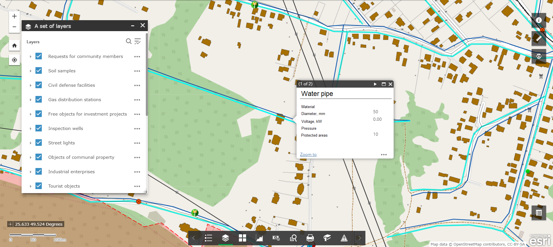
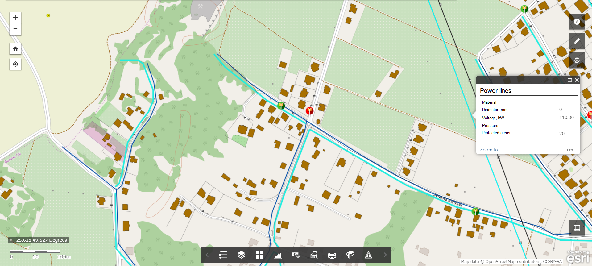
- Thematic data sources: the layers of the map show the ravines, landslides, sinkholes, surface subsidence, floods, and sources of pollution such as chemical enterprises or nonferrous metal industries, hazardous objects, engineering communication lines, etc.;
- Task-oriented GIS resources. These are a set of basic and thematic resources, united to provide new data for addressing problems of territory management. This would include, for example, sanitary protection areas around industrial enterprises and potentially damaging objects, protection areas around sources of urban drinking water supplies, nature protection zones, protection areas around utilities lines (gas pipelines, water supply and power lines, etc.).
